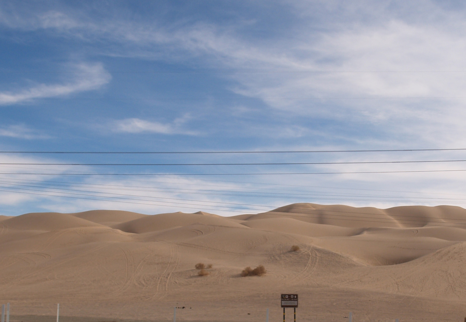
Not as obscure as some of the other sites, the plank road through the Algodones Sand Dunes of southeastern California, along with the first bridge across the lower Colorado River, allowed the completion of the Coast to Coast Highway (later US 80).
Prior to the late Nineteenth Century the common way to travel from Yuma to the California coast was via northern Mexico. Between the sand dunes and the lack of water, passage north of the border was virtually impossible. From Yuma, the Southern Pacific tracks (Indio to Yuma opened in 1877) turned north shortly after entering California, and ran on the east side of the dunes, rather than crossing what became the Imperial Valley. Irrigation and the resulting agricultural boom in the valley led to people wanting to traverse it, but by train the route required a loop south from Imperial Junction (later Niland) across the valley into Mexico at Calexico, east below the border approximately 50 miles, then north to Araz Junction to rejoin the SP mainline.
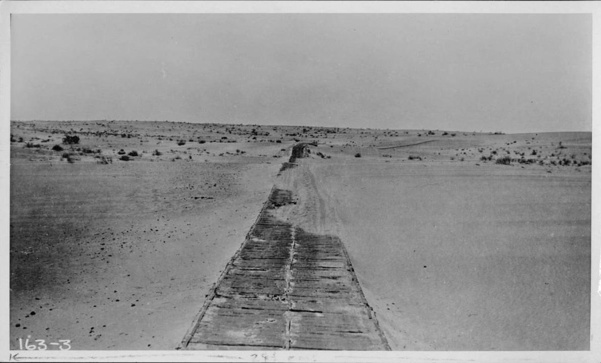
In 1915, completion of the Coast to Coast Bridge crossing the Colorado at Yuma and the one lane Plank Road across the dunes enabled vehicular travel on the US side of the border. Originally just two 25″ parallel “tracks” of wood, about a year later, the planks were fastened together in a full 8′ lane as shown in the photos. When the shifting sand drifted over the wood, sections were moved by horse drawn rigs. Turn outs, approximately a quarter of a mile apart, allowed traffic to pull to the side and allow the driver traveling the other direction to pass, sometimes resulting in arguments over right of way.

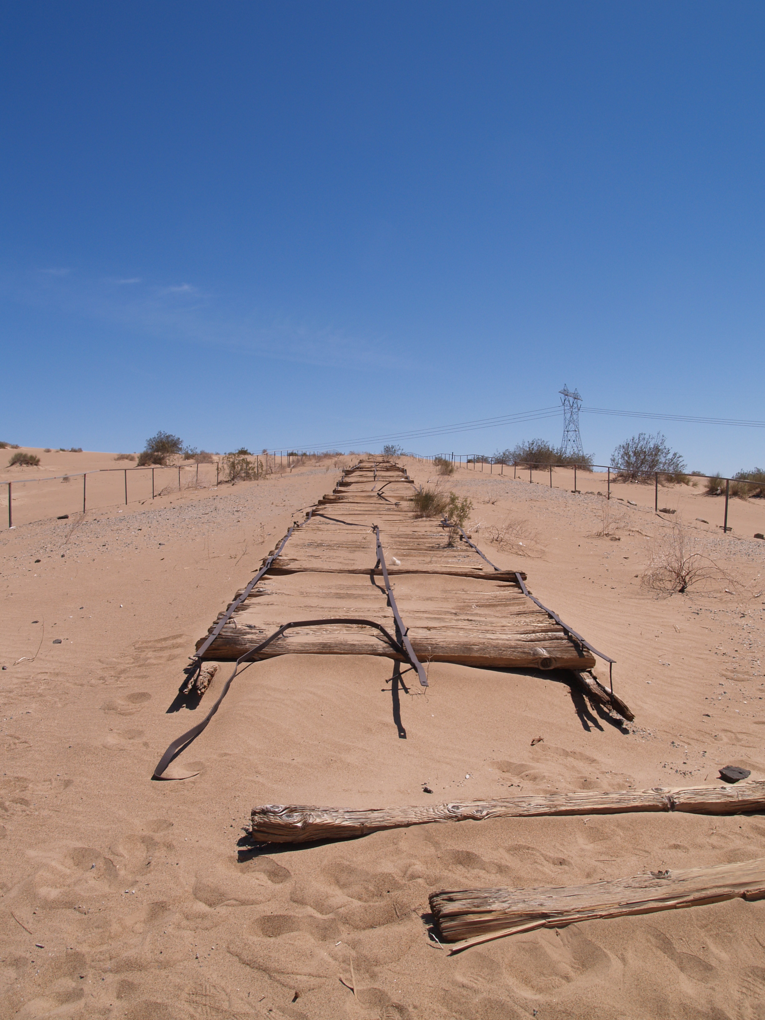
By 1926, highway construction engineering had advanced to the point that an asphalted concrete road could be built replacing the Plank Road. To see a short stretch of a replica of the original road and the Historical Marker, take exit 156 off Interstate 8, turn west on Grays Wells Road; the site will be on the left side of the road, off a parking lot.

Visited the sand dunes often on our frequent trips to Yuma. The dunes were a featured location for a number of Hollywood films.
LikeLiked by 1 person
What a great idea – a plank road. I’d never heard of this and will look with more interest at some old films when next I’m viewing stories from that time.
LikeLiked by 1 person