Red Rock Canyon, Calif.

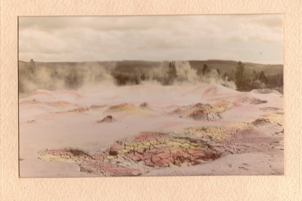
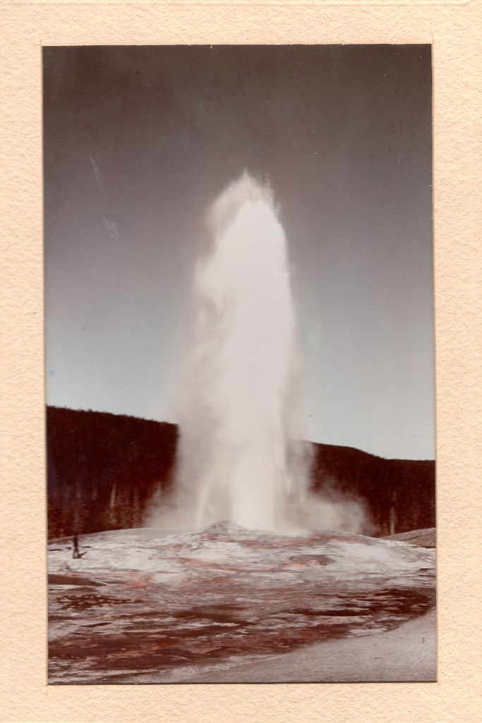
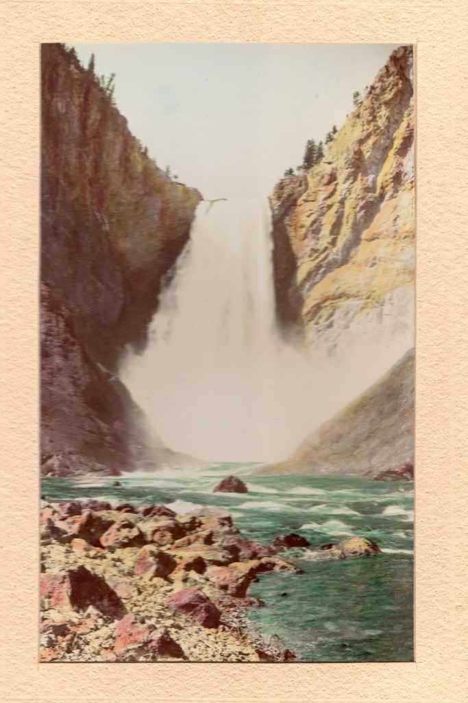
The Old West in Fact and on the Screen

A 1933 postcard of the rock formation, Western Publishing & Novelty
(C.T. Art-Colotone printer) (no copyright notice)

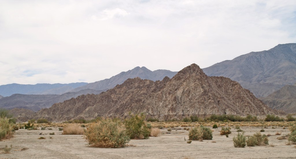
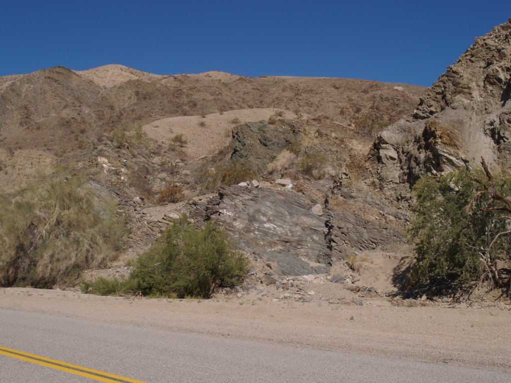
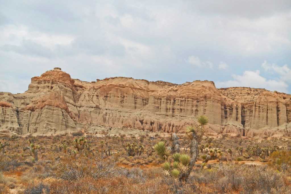
Located in the Mohave Desert at the southern tip of the Sierra Nevada Mountains, Red Rock Canyon is a “pass” between the Sierra Nevada and the El Paso Mountains; it was used by Native Americans as a trading route for centuries. The local Kawaiisu used the area as a winter settlement at the dawn on recorded history in the area, calling it “the canyon with rocks on fire.”

In January/February 1850, pioneers who crossed Death Valley in the “lost ’49’s party” followed a native trail through here, finding water and passage to the west after having spent months in the desert on a “shortcut” to the coast. By 1862, a wagon route was established, used by freight wagons and stage coaches. In the 1890s, gold was mined, but the deposits were never plentiful.

1901 USGS photograph by Marius Robinson Campbell.

From October 1908 until December 1910, the 8.35 mile Red Rock Railroad carried supplies to the local camp of the workers constructing the Los Angeles Aqueduct from the Owens Valley to Los Angeles.

Purportedly the first automobile trip through the Canyon was in 1905. By the 1930s, a paved road ran through the canyon on the route from Los Angeles to Bishop (along the eastern side of the Sierra Nevadas).

By the 1920s, tourists has discovered the area, and soon the spectacular scenery caused it to be used for location filming for numerous movies and TV programs (Jurassic Park, Westworld, Wagon Train, Battle Star Galactica, to name but a few).

In the photographs above, Yuccas figure prominently in the landscape (1933 USGS photo).

After decades to talk about preserving the Canyon, in 1968 the area became a California State Park.

1999 USGS photo by Dominic Oldershaw

Yuccas are not as prevalent due to climate and geological changes, as well as humans disturbing the soil.

July 2015, by the author
The yuccas are returning.

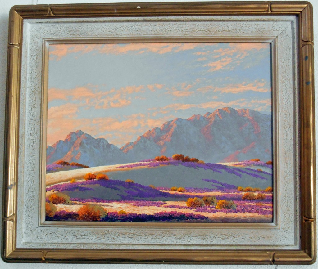
These photos were taken on a trip up the Eastern Sierras in 2015; State Route 14 runs through the State Park. It was a hot summer day on the desert and the Park was not manned due to budget issues in the State government, so there was no one around when we turned into the parking area (there is very limited camping). This would be a spectacular year to visit the park as we had late rain and the wildflowers must be magnificent.

Red Rock Canyon is only a couple of hours out of Los Angeles, but a world away!

A Virtual tour of Yellowstone Park in 1897

COVID-19 has most of us staying home or only working in essential industries; a large part of my work is the farm I live on, so I’m doing both. In my “spare time,” I’m going through some of the things stashed away when a family lives in a house for 70 years; among the gems I found when my mother passed away 20 years ago was a red box of photographs with a gold label: “Yellowstone National Park in Water Color. Published by F. Jay Haynes, St. Paul, Minn.”

She loved books, new, used, antique, so I assume she purchased it in a bookstore. Inside the box was handwrotten “1897” so I think they were purchased at Haynes’ store in Yellowstone that year. Haynes was the official photographer for the Northern Pacific Railway and received his first photo concession in Yellowstone in 1884.

Minerva Terrace
Pulpit Terrace
Golden Gate, East Entrance
Golden Gate Canyon
Mammoth Paint Pots
Old Faithful Geyser
The Punch Bowl
Crater of the Oblong
Great Falls of the Yellowstone [River]
Point Lookout & Great Falls
Grand Canyon [of the Yellowstone River], From the Brink
Inspiration Point from Grand View
On the back of the mats.

I hope you have enjoyed this tour in time and space.

My heart goes out to everyone who has lost someone; Stay Strong!

Someday I’ll get back to history

A Medjool Date Palm

As most of you know, I love the real life stories that make up the history of the Southwest. But, my time is now taken up with living through what will be tomorrow’s history.

While most of California has been very quiet as we try to stay at home, I live in an agricultural area where life goes on with many, many precautions. We have fruit trees, dates, figs & sweet limes, so we’re in a “Critical Infrastructure Industry. ” We wear home made face masks, wash our hands constantly, & try to talk to our workers at a distance, which is a challenge to my hearing as I get older. My knees and back are also complaining.

Often the beginning of April is marked by a heat wave, and the attendees of the Coachella and Stagecoach Music Festivals walk around sporting lobster red sunburns from standing in the sun. However, this year even the weather is sad this year as the sky cries rain. I took this picture during a clearing in the middle of the storm that is slowly making it way east.

To anyone who reads this, STAY STRONG & WELL. I pray we will all come out safe on the other side.

The First Salton Sea

Prehistorically, the Gulf of California extended north through the Imperial and Coachella Valleys; over time geologic shifts and water borne silt changed the topography of the land near the Mexican Border, cutting it off from the Gulf to create the Salton Sink. Subsequently, the Colorado River would change course, on and off creating a vast inland sea, now called Ancient Lake Cahuilla. Around 1580, the last vast lake evaporated.

Tufa deposits mark the shoreline of Ancient Lake Cahuilla, Coachella Valley

Before construction of Laguna Dam in the early twentieth century, the Colorado was still an active river, draining much of the Western US. Springing from watershed high in the snowy Rockies, the “Red River” raced southward and downward, carving the Grand Canyon and other marvelous canyons as it dashed on to the Sea of Cortez. As it approached the Gulf of California, the landscape changed, leaving behind the rock canyons and allowing the river to meander, creating an alluvial delta with the material carried downstream. Captain J. H. Mellon, who operated steamboats on the Lower Colorado, estimated the silt extended the delta fan into the Gulf by more than 6 miles over the course of the 40 years prior to 1905. (H.T. Cory, The Imperial Valley and The Salton Sink, Part IV, (John J. Newbegin, 1915), a reprint of Irrigation and River Control in the Colorado River Delta, from Vol. LXXVI, Transactions American Society of Engineers, p. 1214.)

Smaller overflows of the Colorado River banks continued into the nineteenth century, down the New and Alamo River channels, flowing into the Salton Basin and duly evaporating.

The winter of 1890/91 was the wettest since readings began being kept in 1850. In February, 1891, a number of breaks in the west bank of the Colorado allowed water to spill over into the delta and the New River channel. In June, when Spring runoff brought high water again, more water spilled into the streams running north into the Salton Trough reaching Salton, site of the New Liverpool Salt Works.

From The Californian: Illustrated Magazine, Vol. I, No. 1 October 1891.

The sea was approximately 40 miles long and 10 miles wide, but only 4 feet deep. (B. A. Cecil-Stephens, “The Colorado Desert and its Recent Flooding,” Journal of the American Geographical Society of New York, Vol. 23 (1891), pp. 367-377)

In July 1891, the New York Times printed remarks by John Wesley Powell, Director of the U.S. Geological Survey, that even if the lake were filled to the level of the river, it would evaporate at the rate of approximately 6 feet per year.

In 1892, a wood engraving (based on the Cecil-Stephens map) was published in La Nouvelle Géographie universelle, la terre et les hommes, 19 vol. (1875-94), text by Elisee Reclus. The Cartographer was Charles Perron (vol 16, pg 575). A hand-colored copy of the engraving is shown here.

The first Salton Sea did indeed evaporate due to the extreme heat and lack of sufficient incoming water sources. The situation was totally different following the 1905/07 flooding, as the entire river was diverted into the trough creating the lake, and runoff from agriculture in the Imperial Valley provided a new source of water to replenish that lost to evaporation.

For information on the 1905/07 flooding that created the current Salton Sea, my blog page Creation of the Salton Sea has a preview of a book I’ve written. historytrove.com/creation-of-the-salton-sea/

Needles, CA

Snoopy’s brother Spike lives near Needles with his Cactus companion. As he said in Peanuts on October 12, 1993: “Life in the desert is exciting. Last night the sun went down and this morning the sun came up. There’s always something happening.”*

The Needles rock formation that lent its name to the city.

Needles was, and is, a railroad town

The Atchison Topeka and Santa Fe Railroad founded the town in 1883.

After the first station burned in 1906, ATSF built a new station, El Garces Hotel, and a Harvey House restaurant that was considered the jewel of the system.
Vehicle approach to El Graces today.
The hotel & restaurant were closed in 1949 and the building was totally abandoned in 1988. In 1999, the City purchased the building; in 2007, renovation was begun with the goal of reopening a hotel, shops, restaurant and train station. However, due to problems with loans on a municipal building and restrictions on use of federal funds, the private part of the project was abandoned.
The World War I memorial sits before a largely unused, beautiful building. In 2016, a waiting room for Amtrak passengers was created, open 11pm to 2am when the Southwest Chief passes through. There is also The El Garces Intermodal Transportation Facility which occupies a small part of the building. The park in front is often occupied by transients.

Needles is also on Historic Route 66

Traveling East to West on Route 66. the first city in California is Needles.
The Old Trails Inn used to greet travelers heading West on Route 66.
Today the remaining cabins are The Palms Apartments
The trains still roll through; tourists still travel Route 66; and the sun still goes down and comes up on Needles

*As a boy, Charles Schultz lived in Needles 1928-1930.

Bygone New Years Eve Tradition: Coachella Valley

Artist John Hilton burned paintings in bonfire in Box Canyon

According to Katherine Ainsworth’s 1978 biography of John Hilton, Maynard Dixon and Nicolai Fechin, both, advised Hilton to discard “unworthy” paintings. As noted in the biography as well as numerous newspaper and magazine articles, Hilton invited friends to a dramatic annual party in Box Canyon (east of Mecca, CA) when he would throw his rejects onto a bonfire at the stoke of midnight on New Year’s Eve. As the years passed, the party grew and others added to the bonfire, but Hilton reserved his painting burning for last.

One particularly memorable New Year’s was 1940/41 when the Los Angeles Times printed a photo of him tossing a painting into the fire.

L.A. Times, Jan. 3, 1941

Immediately to the right on the page was an article by Ed Ainsworth:

After several years the parties were discontinued; this may have even been the last, as a year later the US would be at war. Of course today, one would need a permit for such a fire, which the County Fire Department would never issue!

Box Canyon Road winds up from the Coachella Valley floor through the Canyon to Shaver’s Valley and on to Interstate 10. The Canyon is protected under the 1964 Wilderness Act and has not changed except for some modern road improvements and erosion by Mother Nature.
Fragrant Morning by John Hilton (one that wasn’t burned!)

Happy New Year!