Prehistorically, the Gulf of California extended north through the Imperial and Coachella Valleys; over time geologic shifts and water borne silt changed the topography of the land near the Mexican Border, cutting it off from the Gulf to create the Salton Sink. Subsequently, the Colorado River would change course, on and off creating a vast inland sea, now called Ancient Lake Cahuilla. Around 1580, the last vast lake evaporated.
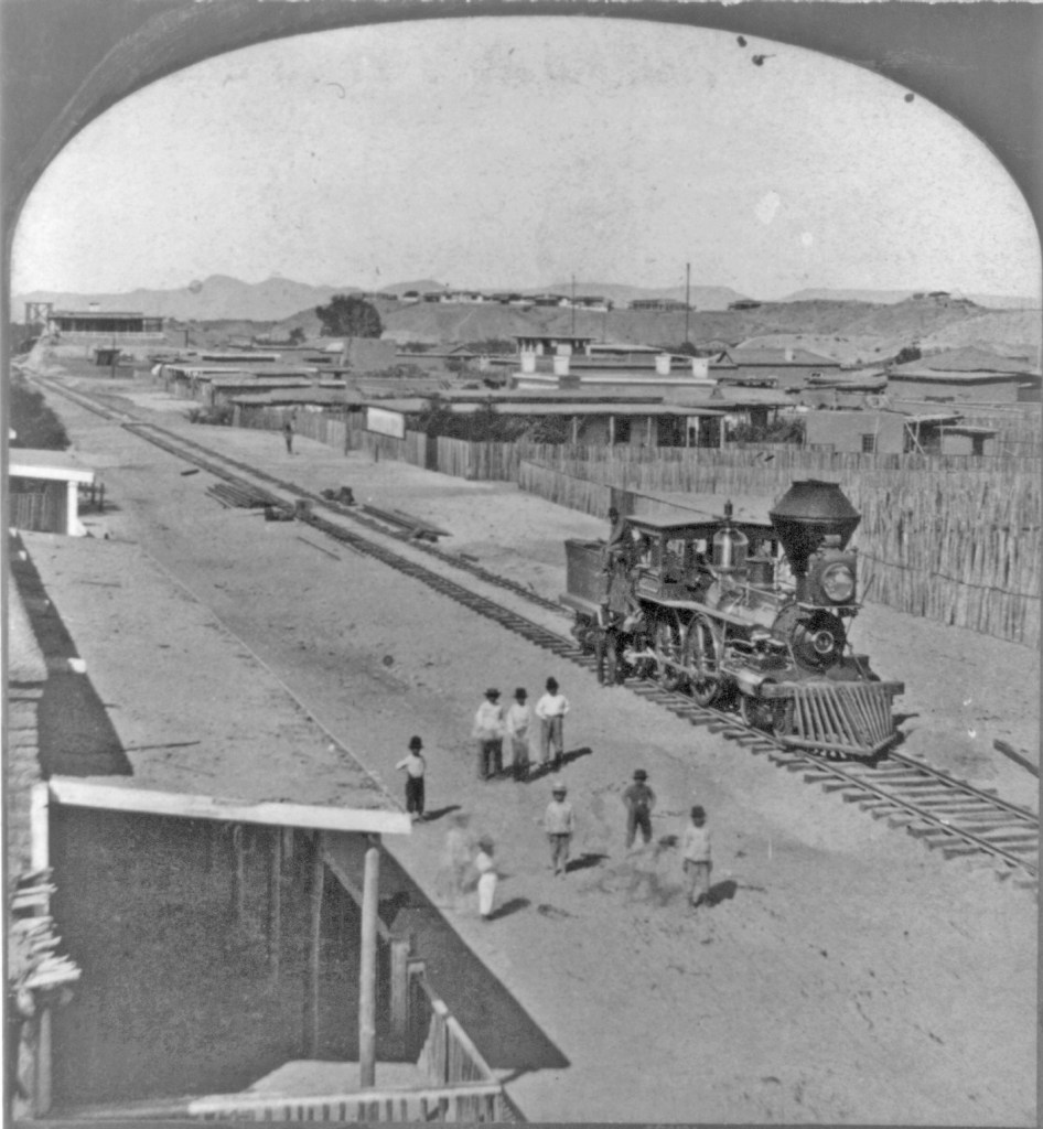
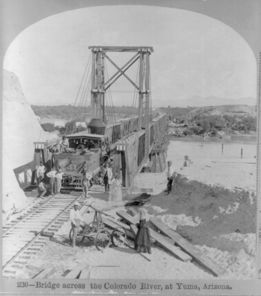
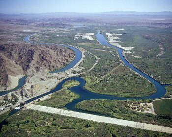
Before construction of Laguna Dam in the early twentieth century, the Colorado was still an active river, draining much of the Western US. Springing from watershed high in the snowy Rockies, the “Red River” raced southward and downward, carving the Grand Canyon and other marvelous canyons as it dashed on to the Sea of Cortez. As it approached the Gulf of California, the landscape changed, leaving behind the rock canyons and allowing the river to meander, creating an alluvial delta with the material carried downstream. Captain J. H. Mellon, who operated steamboats on the Lower Colorado, estimated the silt extended the delta fan into the Gulf by more than 6 miles over the course of the 40 years prior to 1905. (H.T. Cory, The Imperial Valley and The Salton Sink, Part IV, (John J. Newbegin, 1915), a reprint of Irrigation and River Control in the Colorado River Delta, from Vol. LXXVI, Transactions American Society of Engineers, p. 1214.)
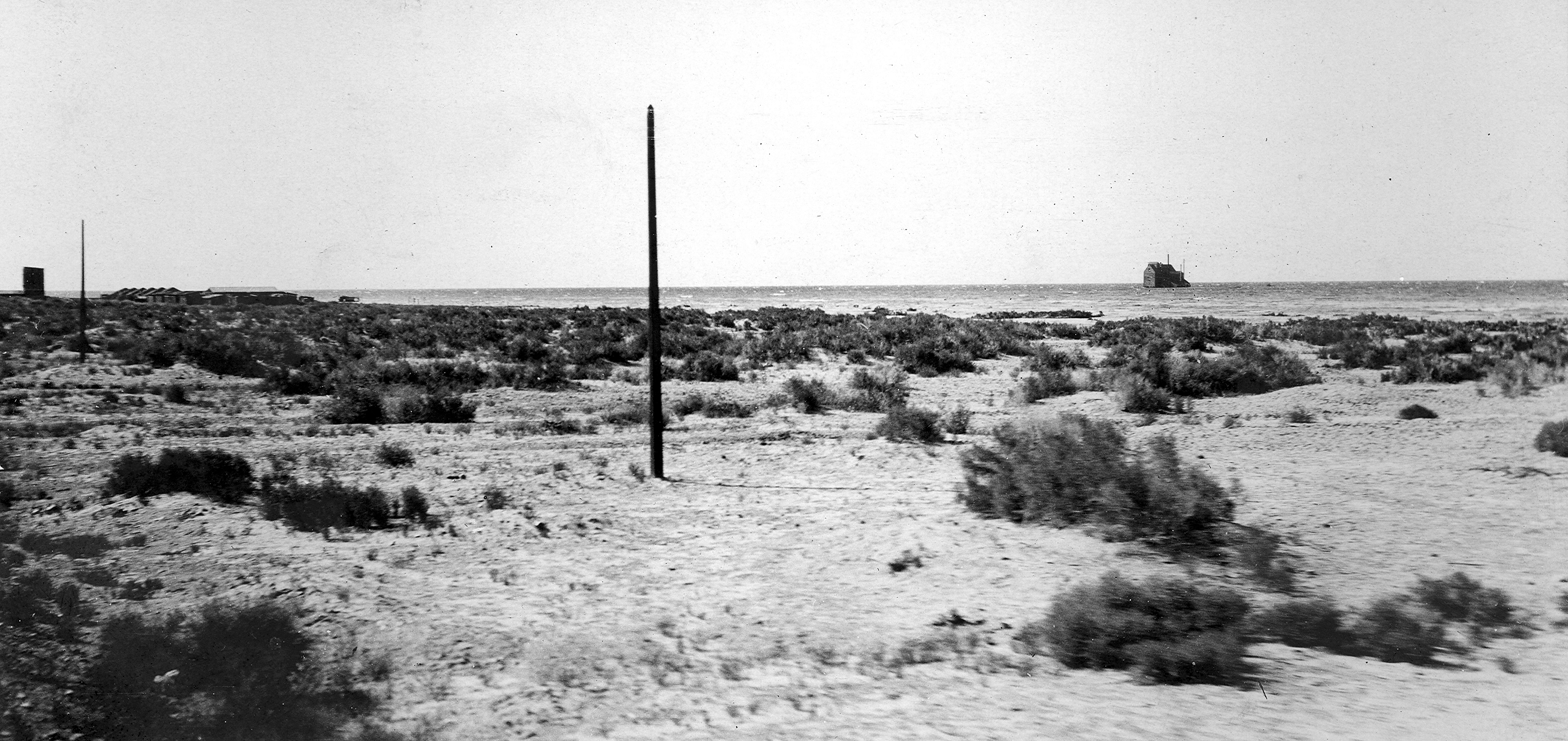
Smaller overflows of the Colorado River banks continued into the nineteenth century, down the New and Alamo River channels, flowing into the Salton Basin and duly evaporating.
The winter of 1890/91 was the wettest since readings began being kept in 1850. In February, 1891, a number of breaks in the west bank of the Colorado allowed water to spill over into the delta and the New River channel. In June, when Spring runoff brought high water again, more water spilled into the streams running north into the Salton Trough reaching Salton, site of the New Liverpool Salt Works.

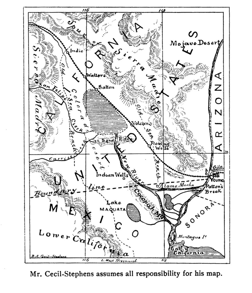
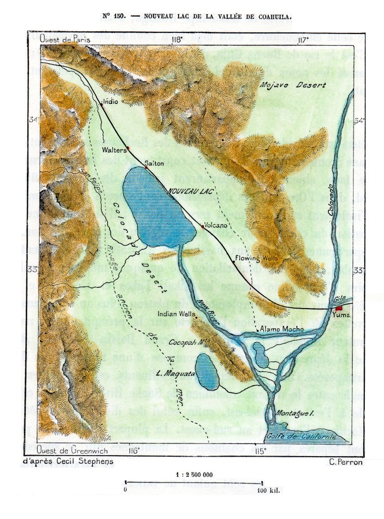
The sea was approximately 40 miles long and 10 miles wide, but only 4 feet deep. (B. A. Cecil-Stephens, “The Colorado Desert and its Recent Flooding,” Journal of the American Geographical Society of New York, Vol. 23 (1891), pp. 367-377)
In July 1891, the New York Times printed remarks by John Wesley Powell, Director of the U.S. Geological Survey, that even if the lake were filled to the level of the river, it would evaporate at the rate of approximately 6 feet per year.
The first Salton Sea did indeed evaporate due to the extreme heat and lack of sufficient incoming water sources. The situation was totally different following the 1905/07 flooding, as the entire river was diverted into the trough creating the lake, and runoff from agriculture in the Imperial Valley provided a new source of water to replenish that lost to evaporation.
For information on the 1905/07 flooding that created the current Salton Sea, my blog page Creation of the Salton Sea has a preview of a book I’ve written. historytrove.com/creation-of-the-salton-sea/